Constraints Assessments
If you are scoping development options across large geographical areas and require an assessment of the potential UXO hazard, our constraints studies are the perfect starting point.
No matter how preliminary your plans are, we can help address the UXO hazard at an early stage. By undertaking a UXO constraints assessment we can provide a high level understanding of UXO hazard sources across a large area. This awareness will help prevent any nasty surprises in the future.
Examples of large scoping projects we have worked on include:
- New gas pipelines
- Grid connection cables
- Infrastructure development schemes
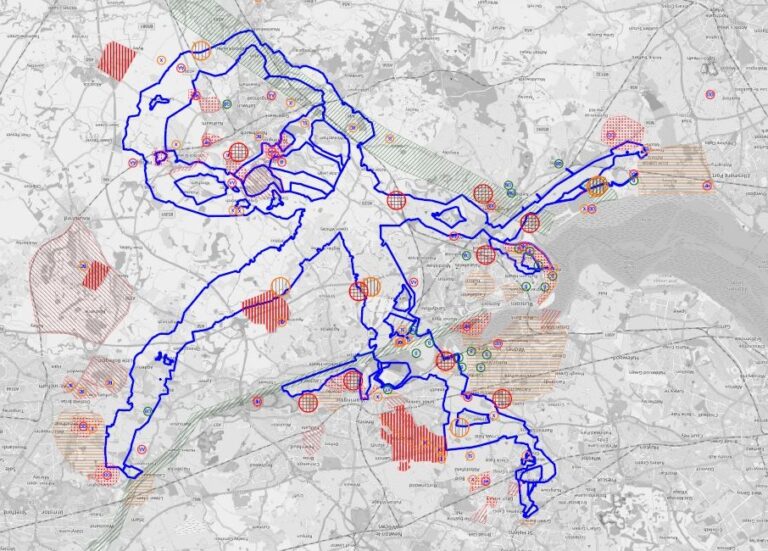
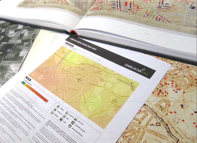
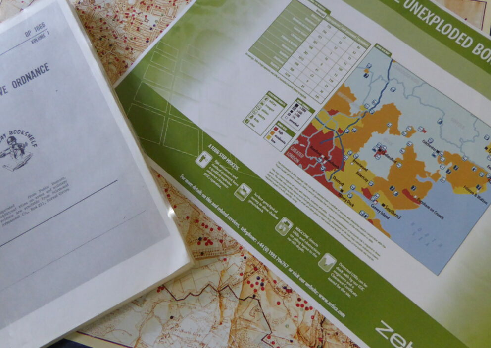
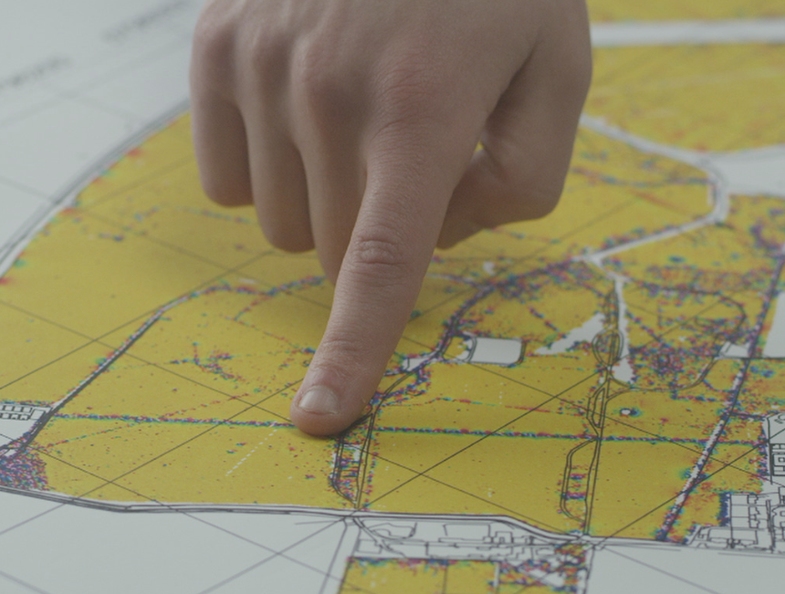
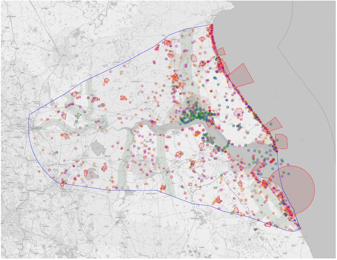
Employing our usual tenacity for historical research, we produce detailed maps in GIS or AutoCAD (see right) showing high-level UXO hazard constraints across wide areas. These maps can be overlaid onto your plans of other potential constraints, allowing an optimal route or development area to be selected.
Once you have used your constraints studies to decide on a preferred development area, we can undertake a more formal detailed UXO risk assessment. This will address any remaining hazards and determine if further risk mitigation is required on site.